Commercial Scenarios
Precision Agriculture
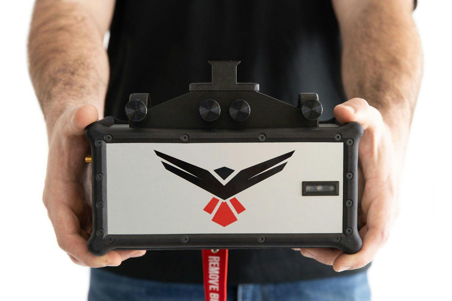
The RedTail LiDAR System is a superior point cloud generation tool that helps streamline workflows and make informed crop and livestock management decisions that result in reduced costs and increased productivity.
Designed specifically for use on unmanned aerial vehicles, the RedTail LiDAR System combines the agility and operability of a drone with a superior point cloud generation tool to create high-resolution, highly accurate 3D maps of your agricultural land.
Data collected with the RedTail LiDAR System can be used to: 1) create slope and sunlight exposure area maps, 2) monitor irrigation and fertilizer needs, 3) detect crop damage, analyze stand counts, and estimate harvest yield, 4) identify and minimize the impact of pests and disease 5) observe plant growth and detect areas of irregularities, 6) map water flow and catchments, 7) monitor erosion, soil loss, and assess storm damage, 8) calculate grove maturity, and 9) assess livestock health and determine optimal foraging areas.
The RedTail LiDAR System is the optimal solution for your agricultural mapping, monitoring, and assessment needs. With a pulse repetition rate of up to 400,000 pulses per second, even ground-point distribution, superior ranging capability, and optimized scan angles, the RedTail LiDAR System provides you with timely and accurate information, reducing cost and increasing productivity.


See how the RTL-450 will optimize sUAS LiDAR mapping for your business.
Contact Us
RedTail LiDAR technology licensed from the U.S. Army Research Laboratory; U.S. Patent Number 10,444,330 B2. Scanning - the way it was meant to be is a trademarked slogan of RedTail LiDAR Systems. Specifications are subject to change.